
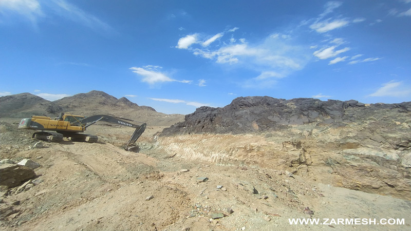
Bagh Sangi exploration area with exploration license with an area of 18 square kilometers is located in South Khorasan province, 10 kilometers northwest of Doroh rural district, East of Iran. This area is part of the Flysch Basin of Structural zone of eastern Iran.
Bagh Sangi Exploration Area
Projects
Ore deposit type
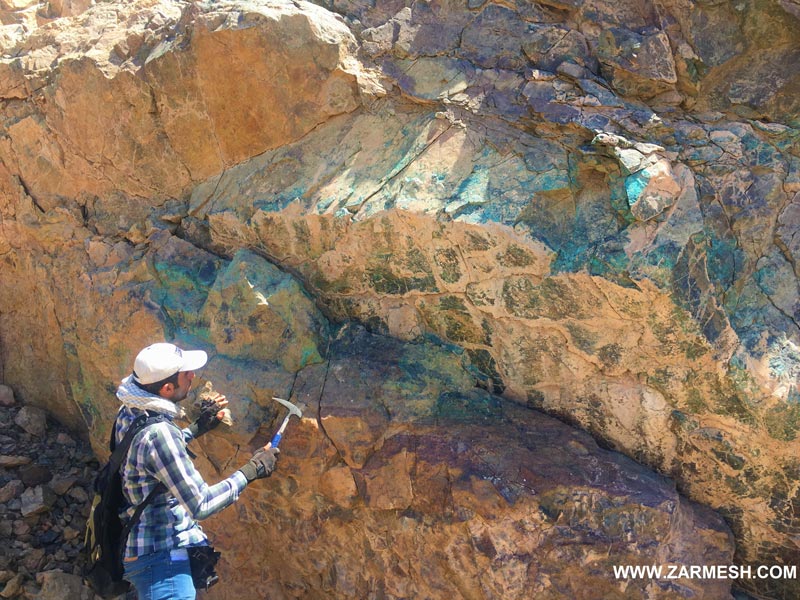
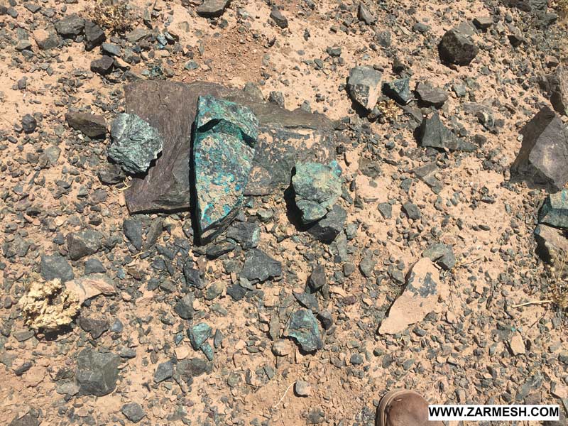
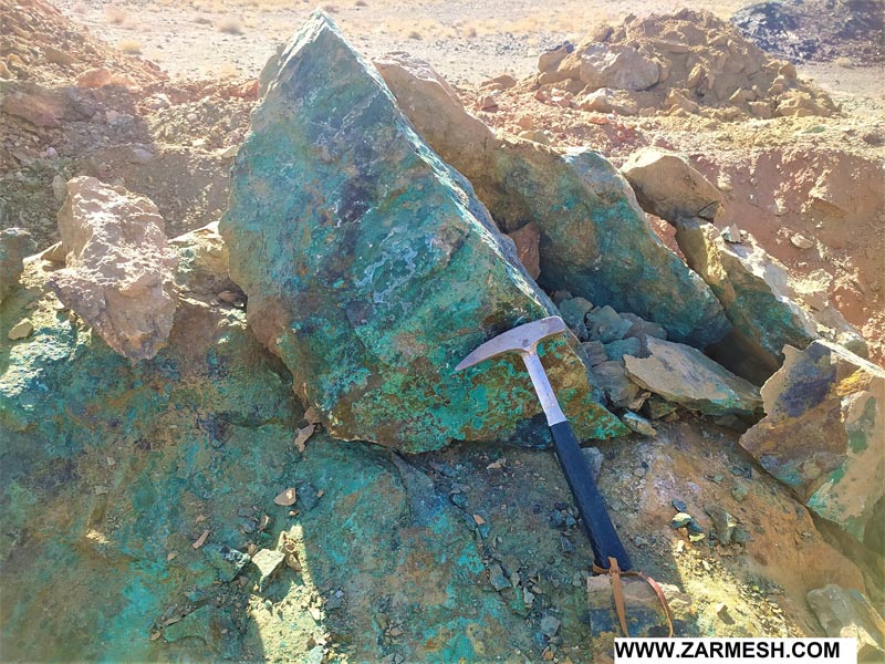
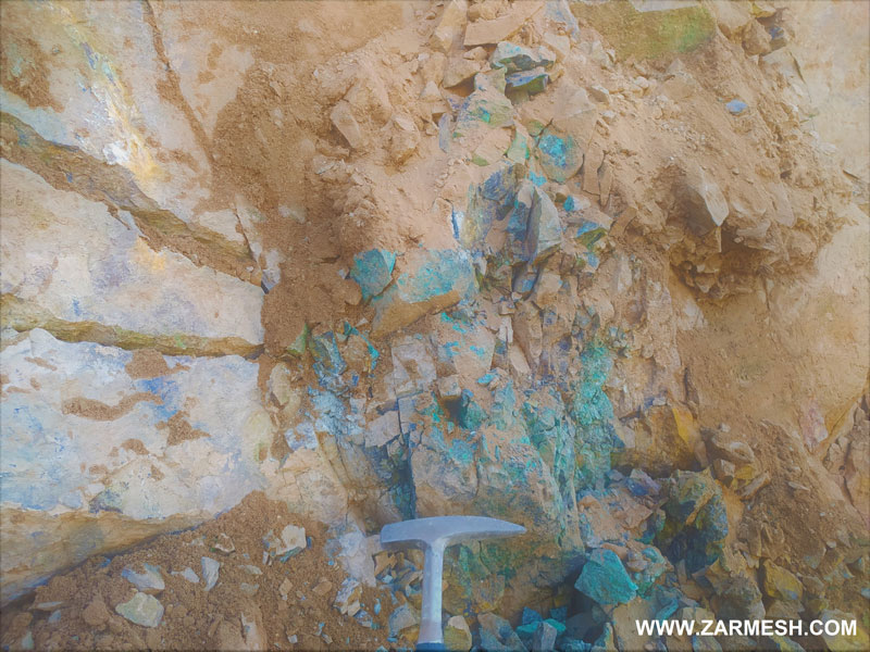
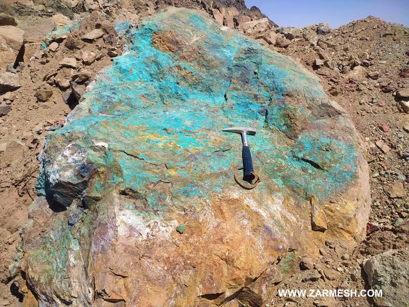
Genesis: Massive sulfide Copper and Magnesium Veins in Ultramafic Rocks.
Paragenesis of mineral: Malachite, Chalcocite, Chrysocolla, Huntite and Magnesite
Gange type: Hematite, Limonite, Goethite, Talc, Serpentine, Epidote
Geochemical paragenesis: (Cu, Zn), (Au, S), Mg
Geology
Host rock type: Gabbro, Ultramafic Rocks, Listvenite, Diabase (Dolerite)
Age of the host rock: Cretaceous
Alteration: Argillic, Epidotization, Chlorination, Serpentinization, Talcization, Hematite Alteration, Silicification,
Reserve Amount
Copper: In the longitudinal and transverse range of 350 and 150 meters of copper mineralization were identified discontinuously, respectively, and also the volume of old work and mineral depots in the range is very high, which indicates the existence of extensive mineralization in the area.
Copper mineralization is estimated in the range of at least 100 thousand tons, which according to the evidence and dimensions of copper mineralization is an increase in potential reserves and the need for in-depth exploration.
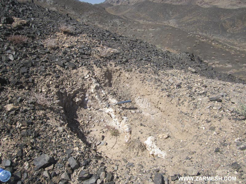
Magnesium: In the longitudinal and transverse ranges of 900 and 500 meters of magnesium mineralization in the form of magnesite and Huntite were detected discontinuously and intermittently, and also old work for magnesium extraction was observed in the area, which indicates the wide dimensions of magnesium mineralization.
Magnesium mineralization is estimated at at least 20,000 tons, which is not far-fetched.
Proven Reserve
Designing and drilling exploratory trenches are ongoing and the proven reserve is not estimated yet.
Mineral grade
Cu average 1.2% and maximum 2.7%
Zn average 0.13% and maximum 0.36%
MgO 28%
Facilities
The Village of Doroh has water, electricity and telephone, which is located within 10 km of the area and the area has good access (less than 2 km) to the asphalt road of Sarbisheh- Mahirud border customs. There is no infrastructure or energy in the area except for the dirt road.
Exploration operations
- Collecting information; including geological and topographic maps, previous reports and…, doing office work and planning for field operations.
- Processing of SENTINEL-2 and ASTER satellite data for extraction of alteration minerals related to mineralization, analysis of geological structures and features, and separation of rock units.
- surveying, processing and integrating the data base information, creating databases and identifying areas that is suitable for exploration
- Field operations including surveying and surveying the area and identifying rock units and important geological features as well as separation of veins and mineralization zones.
- Sampling of veins, ore zones, alleles of alteration and remnants of ancient mining in the search phase to 4 samples.
- Preparation, sending of samples, and chemical analysis of gold and associated elements by ICP OES, Fire Assay and XRD to 4 samples.
- Geophysical operations by IP and RS for 960 points in 8 profiles
Ownership
This area has an exploration license that belongs to Mr. Seyed Ahmad Meshkani


پروژه های زرمش

Silijerd Exploration Area
Silijerd exploration area with exploration license with an area of 23.3 square kilometers is located in Markazi province, 17 kilometers northwest of Saveh city in Iran. This area is part of the Urmia- Dokhtar

Khalkhab Exploration Area
Khalkhab exploration area with exploitation license is located in Markazi province, north of Saveh city and northeast of Chenar village.This area with an area of 14.3 square kilometers is part of the Urmia-Dokh