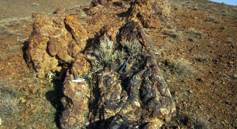
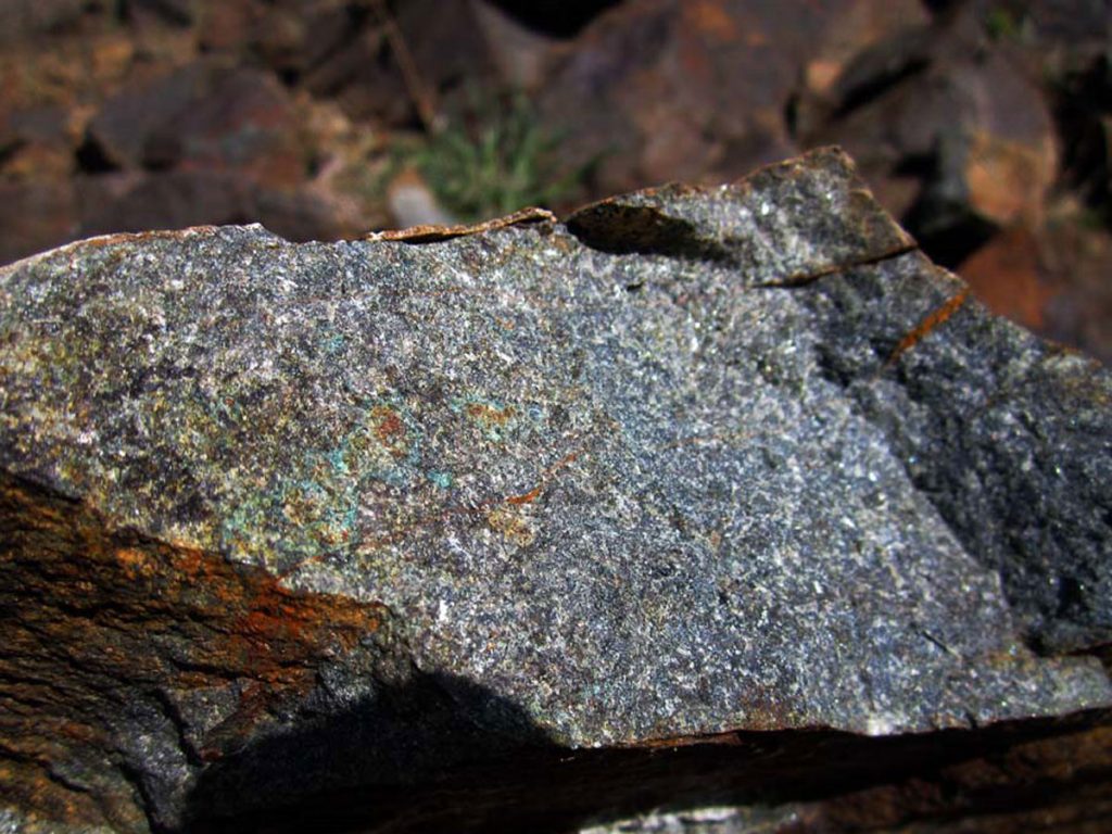
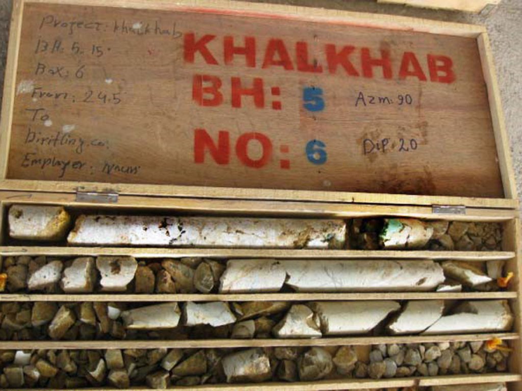
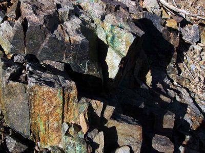
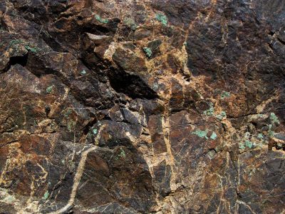
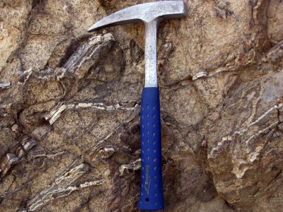
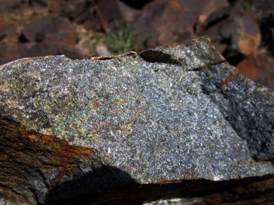
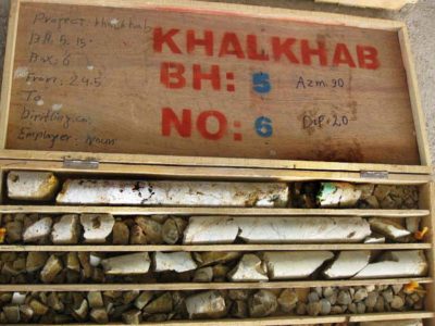
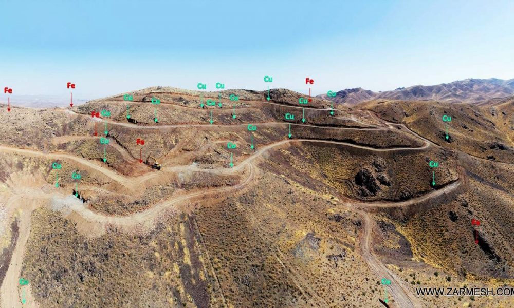
Khalkhab exploration area with exploitation license is located in Markazi province, north of Saveh city and northeast of Chenar village.This area with an area of 14.3 square kilometers is part of the Urmia-Dokhtar volcanic-intrusive belt.
Ore deposit type
Genesis: Polymetallic (Cu, Au, Zn, Pb, Au), Skarn and IOCG
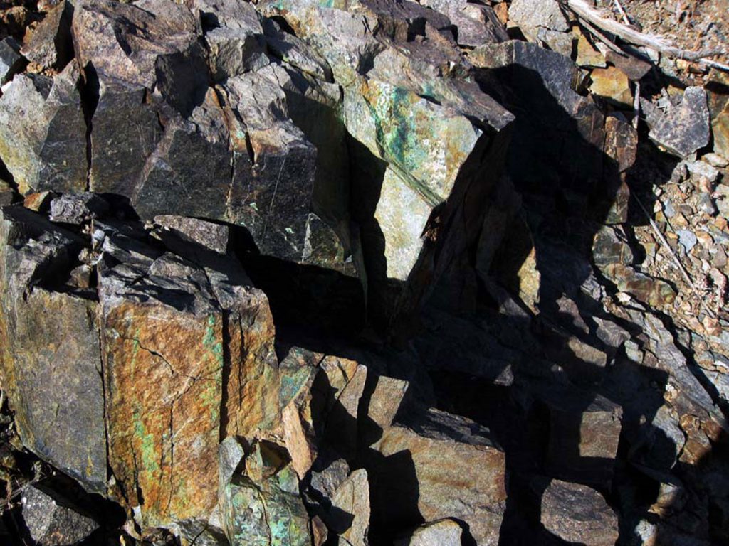
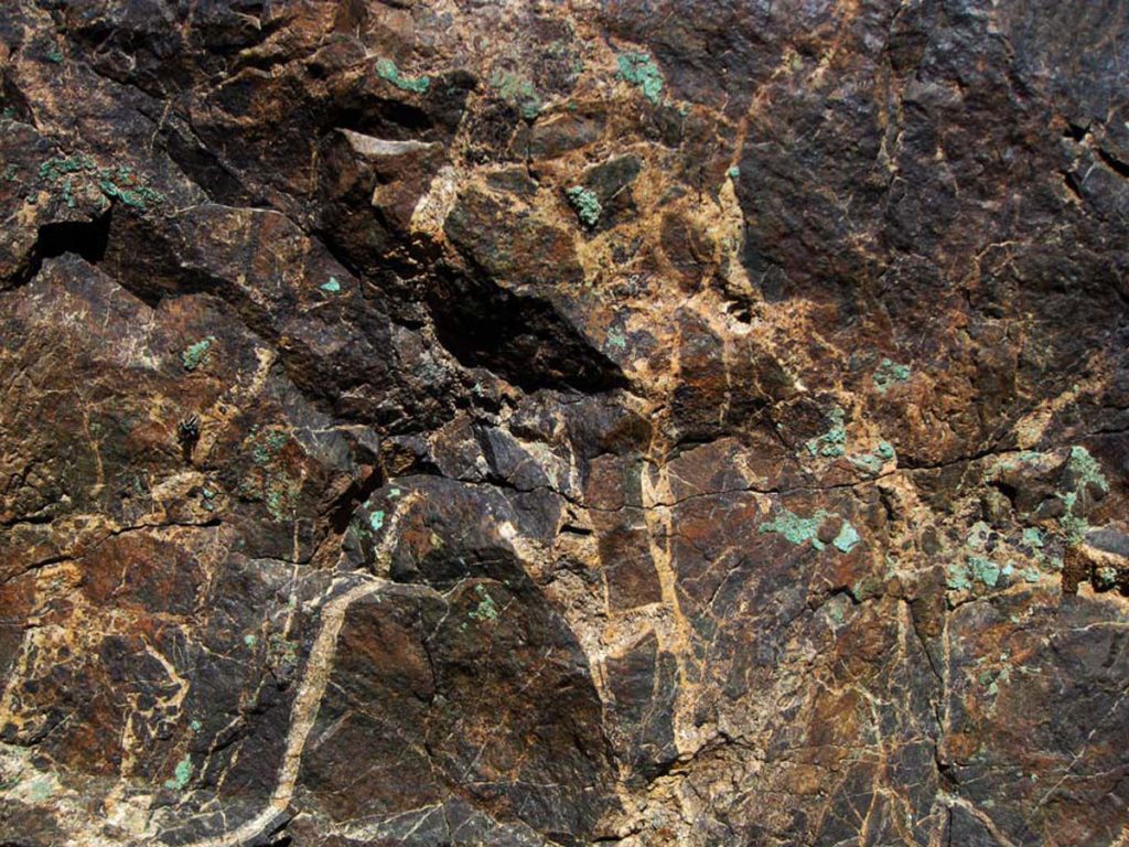
Paragenesis of minerals: Chalcopyrite, malachite, azurite, sphalerite, smithsonite, galena, chalcocite, cerussite and hematite
Gangue type: Silica mineral, limonite and calcite
Geochemical paragenesis: (Cu, Au, Mo), (Zn, Pb, Ag), Fe
Geology
Structural Zone: Central Iran, Urmia-Dokhtar volcanic-intrusive belt
Host rocks type: Granite to granodiorite, diorite, andesite and trachyandesite
Age of the host rock: Eocene to Miocene
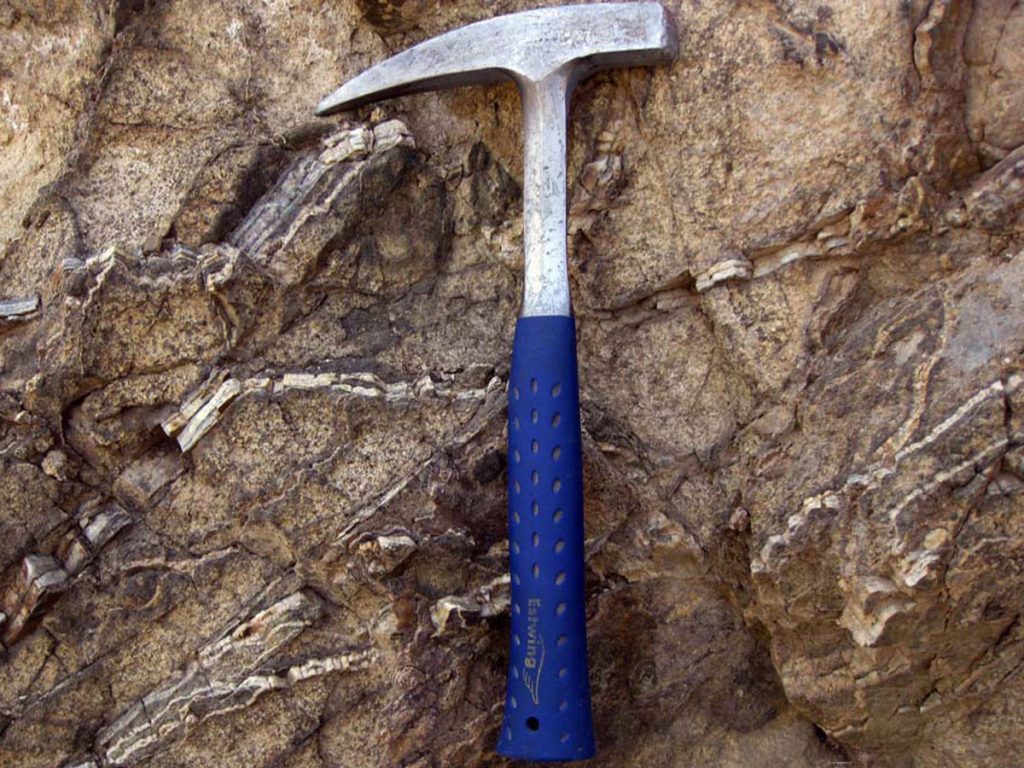
Alteration: Argillic, Silica alteration, Carbonate and iron oxide
Dimensions of mineralization
In general, according to the mineralization of the area, the whole Khalkhab mineral area is divided into 5 exploration target areas and includes the target area (A) with an area of 179 hectares and has polymetallic mineralization (copper, lead, zinc, gold and silver) as Oxide and sulfide.
Target area (B) with an area of 73 hectares with copper mineralization and sometimes with gold in siliceous veins and veinlets and iron mineralization in Skarn unit.
Exploration target area (C) with an area of 122 hectares with mineralization of copper, zinc along with gold mineralization.
Exploration target area (D) with an area of 555 hectares with copper ores mineralization along with gold in siliceous veins.
Exploration target area (E) with an area of 253 hectares contains high copper and iron ores.
Proven reserve
Definitive reserve of 100,000 tons of copper sulfide ore with an average grade of 0.5% and lead and zinc by-product with a definite reserve of 35,000 tons with an average grade of 1.1% of zinc and 0.5% of lead.
However, since the drilling and trenching operations are still underway in the area and it is predicted due to the appearance of chalcopyrite, malachite, sphalerite and galena minerals in the extraction chest and new drilling cores. This amount of reserve is accompanied by a significant increase
(It should be noted that the elements Au, Ag, Mo and Fe also have economic potential).
Mineral grade
Cu maximum 4.6% and mean 0.8%, Au maximum 2788 ppb, Zn maximum 7.8%, Pb maximum 3.7%, Ag maximum 120 ppm, Fe2O3 maximum 55% and Mo maximum 284 ppm
Facilities
Chenar village is located near Khalkhab area, which can provide the required manpower and electricity.
Exploration operations
- Collecting information, doing office work and preparing geological and topographic maps with a scale of 1: 20,000 with an area of 26 square kilometers
- Buy high resolution satellite images as aerial photographs of the study area
- Preparation of geological and topographic map of the area at a scale of 1: 5,000 with an area of 8.8 square kilometers
- Identification of mineralized veins in the preliminary prospecting stage with 310 veins and zones
- Sampling of ore veins in the preliminary prospecting stage to 270 samples
- Analysis of prospecting samples by ICP-OES method for 270 samples
- Analysis of prospecting samples by Fire Assay method for 265 samples
- Analysis of prospecting samples by XRF method for 3 samples
- Study of 12 samples taken from alluvial deposits of the area by heavy minerals study method
- Preparation of 5 TS sections for petrographic studies
- Construction of access roads more than 4 km
- Design and excavation of 16 trenches and wells with an approximate volume of 900 cubic meters
- Sampling of excavated trenches in 12 samples
- Analysis of trench samples by ICP-OES method for 12 samples
- Analysis of trench samples by Fire Assay method for 10 samples
- Performing geophysical operations by IP-RS method in 6 profiles with 380 samples
- Drilling operations with a length of 244/6 meters. drilling, trenching and road construction are still ongoing
- Sampling of drilling cores in 72 samples
- Analysis of this number of samples by ICP-OES and Fire Assay methods

