Silijerd exploration area with exploration license with an area of 23.3 square kilometers is located in Markazi province, 17 kilometers northwest of Saveh city in Iran. This area is part of the Urmia- Dokhtar volcanic belt of Central Iran zone.
Ore deposit type
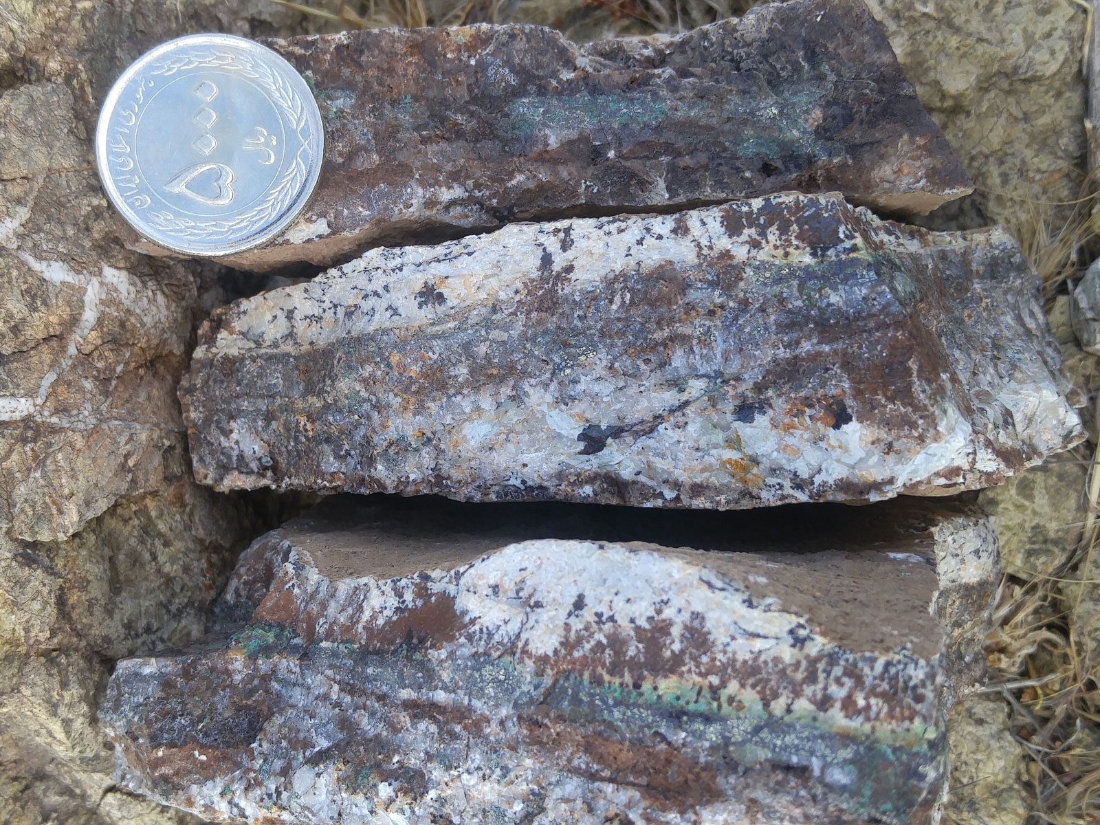
Genesis: Cu-Fe Skarn, Copper and Gold Silica- Calcite, Silica- Iron Oxide Vein and Veinlet.
Paragenesis of mineral: Malachite, Chalcocite, Chalcopyrite, Magnetite, Apatite
Gangue type: Silica, Calcite, Specularite, Iron Oxid and Hydroxide.
Geochemical paragenesis: Cu, Fe, Au
Geology
Host rock type: Granodiorite, Diorite, Granite, Andesite, Basaltic Andesite, Basalt, Tuff, Andesite Tuff, Ignimbrite, Dacite, Rhyodacite.
Age of the host rock: Eocene to Quaternary.
Alteration: Silicification, Argillic, Sericite, Propylitic, Iron Oxide and Hydroxide
Dimensions of mineralization
Cu- Fe Skarn: With length about 1.5 kilometer and width range of 1-to-5-meter, maximum grade of copper is 3.3%, maximum grade of iron is 41% and maximum grade of gold is 0.3ppm.
Cu- Au Mineralization in the form of Silica- Calcite and Silica- Iron oxide vein: With length of 1.2 kilometer and width range of 0.5-to-8-meter, maximum grade of copper is 3.6% and maximum grade of gold is 5.8ppm.
Cu mineralization in the form of vein, veinlet and bedding: With length more than 4 kilometer and width range of 0.4-to-8-meter, maximum grade of copper is 1.7%.
Proven reserve
Designing and drilling exploratory trenches are ongoing and the proven reserve is not estimated yet. But according to geological studies, prospecting and geophysical operations, copper and iron reserve in the Silijerd exploration area is about several hundred thousand tons.
Facilities
The Villages of Vardeh and Noshveh has water, electricity, telephone and etc, which is located within 5 Km of the area and the area has good access (less than 3 km) to the asphalt road of Saveh- Hamedan border customs. There is no infrastructure or energy in the area except for the dirt road. The nearest health center is located in the Silijerd village, which is about 2 kilometers away from the exploration area.
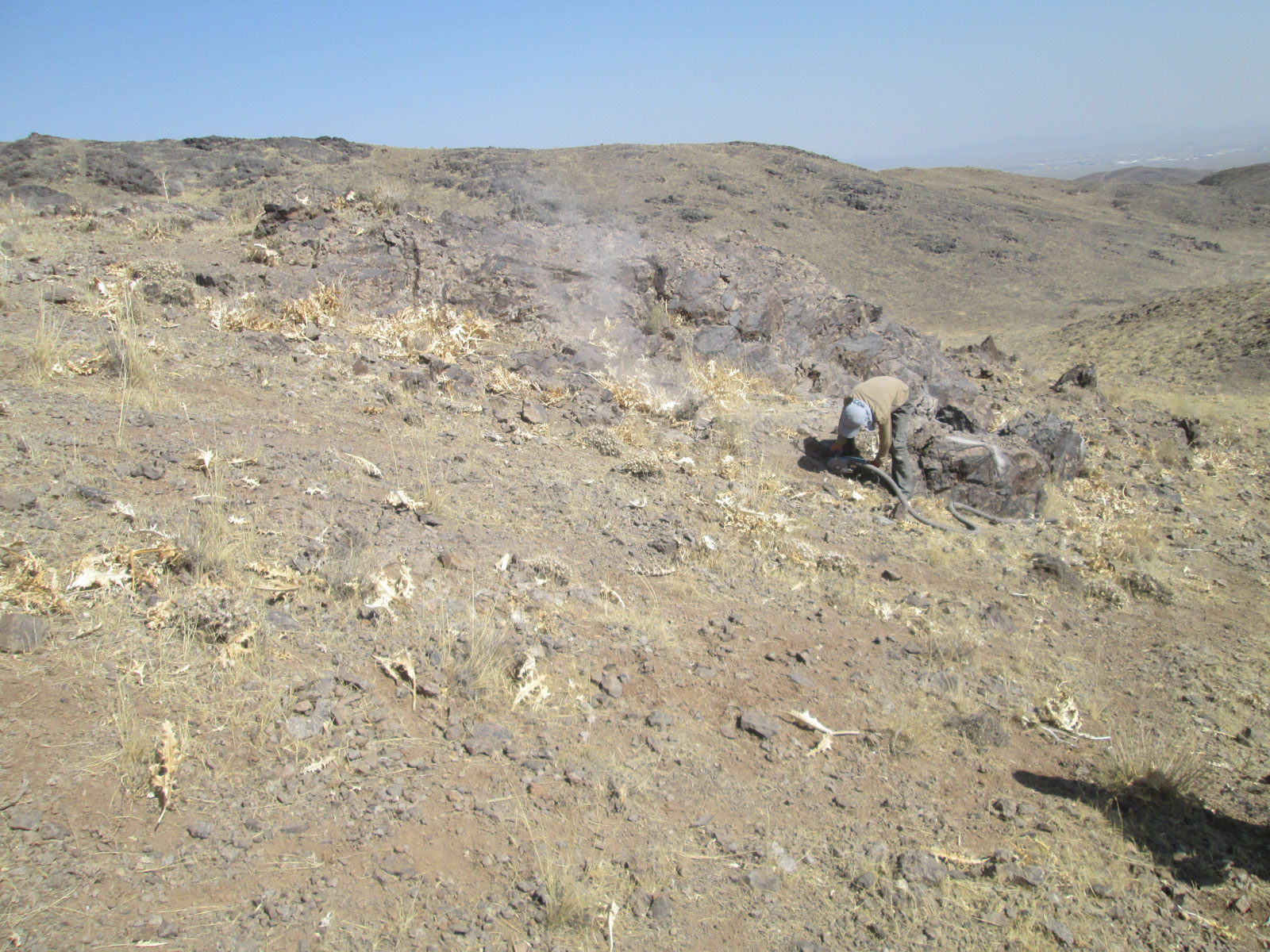
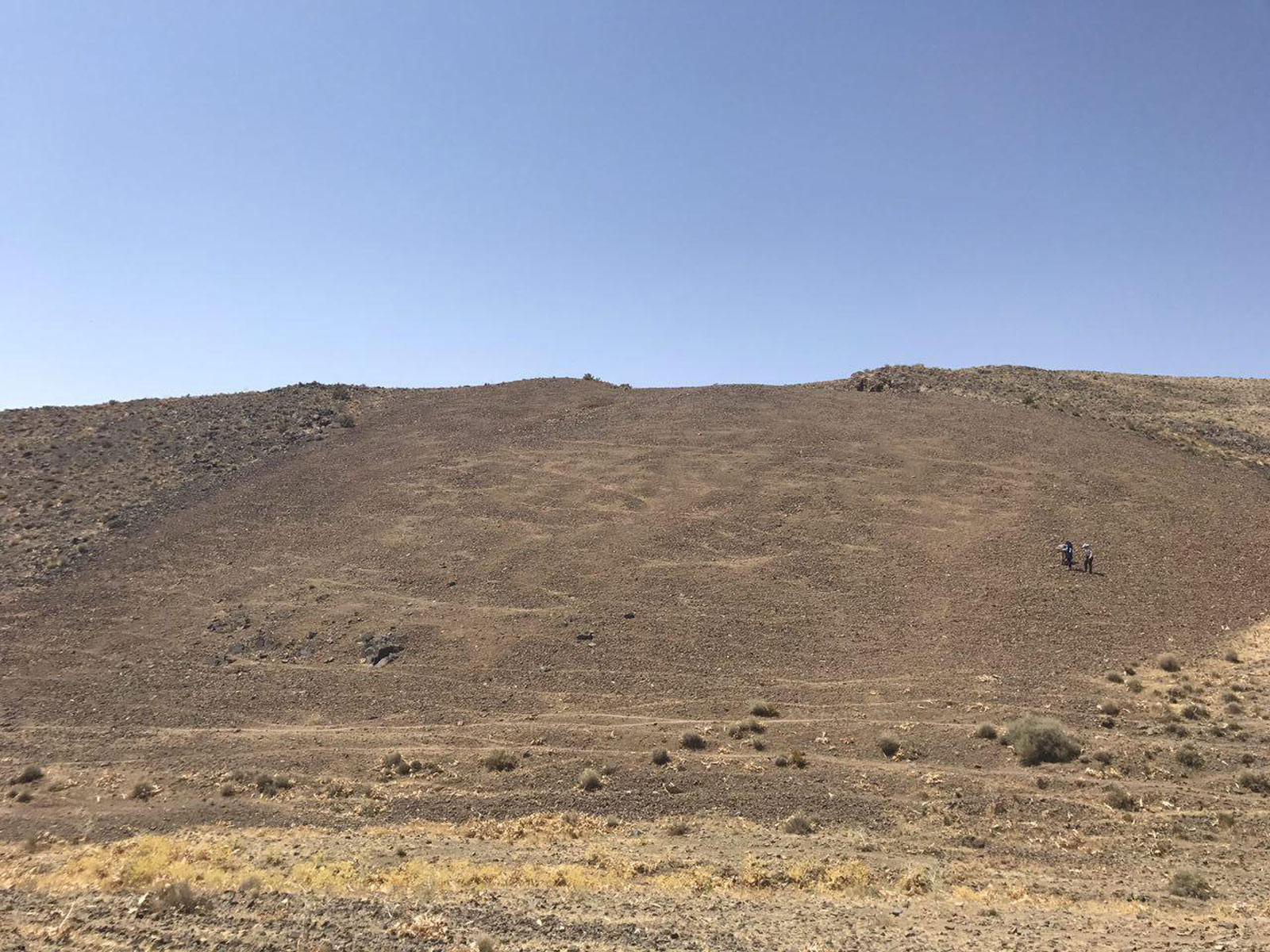
Exploration operations
- Collecting information; including a geological map and topographic maps, previous reports and etc, doing office work and planning for Geological field operations.
- Processing of Remote Sensing data for extraction of alteration minerals related to mineralization, analysis of geological structures and features, and segregation of rock units.
- Preparation, process and integration of basic information layers, create a database and identify suitable areas for exploration.
- Geological map with scale 1:20,000 with an area of 23.3 square kilometers.
- Structural map with scale 1:20,000 with an area of 23.3 square kilometers.
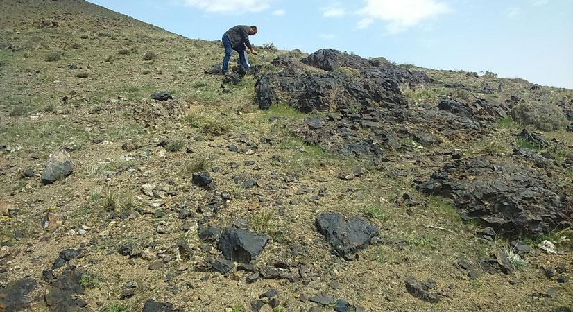
- Geological Field operations include surveying the area and identifying rock units and important geological features as well as separation of veins and mineralization zones.
- Thin section sampling (3 samples) to prepare geological map with scale 1:20,000
- Sampling of veins, ore zones, Zones of alteration and remain of ancient mining in the Geological Field to 43 samples.
- Preparation, sending of samples, and chemical analysis of gold and associated elements by ICP OES, Fire Assay to 43 samples.
- Preparation, sending of samples, and chemical analysis of XRF to 4 samples.
- Lithogeochemical prospect sampling, sending of samples, and chemical analysis of gold and associated elements by ICP OES, Fire Assay to 103 samples.
- Geophysical operations by IP and RS for 2,430 points in 1.3 square Kilometer area.
Ownership
This area has an exploration license that belongs to Pars Gostaran Aghigh engineering and commercial company. This exploration area is in the process of receiving the discovery certificate.