
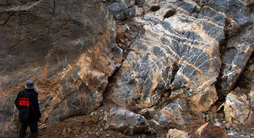
Lead and Zinc mine of Tang-e Dozdan with the area of 7.5 square kilometer is located in the province of Isfahan near the city of Fereydoun Shahr. This district is located in the Sanandaj-Sirjan exploration zone. The district is in 30 km of the Bouin Miandasht section. The main road of Khomein-Aligudarz to Daran, the three way of the Aznavaleh, the villages of Aghcheh and Aghgol, Tang-e Dozdan. Both roads to the village of Aghgol are asphalted. The dirt road from the village of Aghgol, will be reached to the village of Tange Dozdan after 7.5km.
Tang-e-Dozdan Pb-Zn Mine
Projects
Reserve Type
- Genesis: Probably Mississippi valley type.
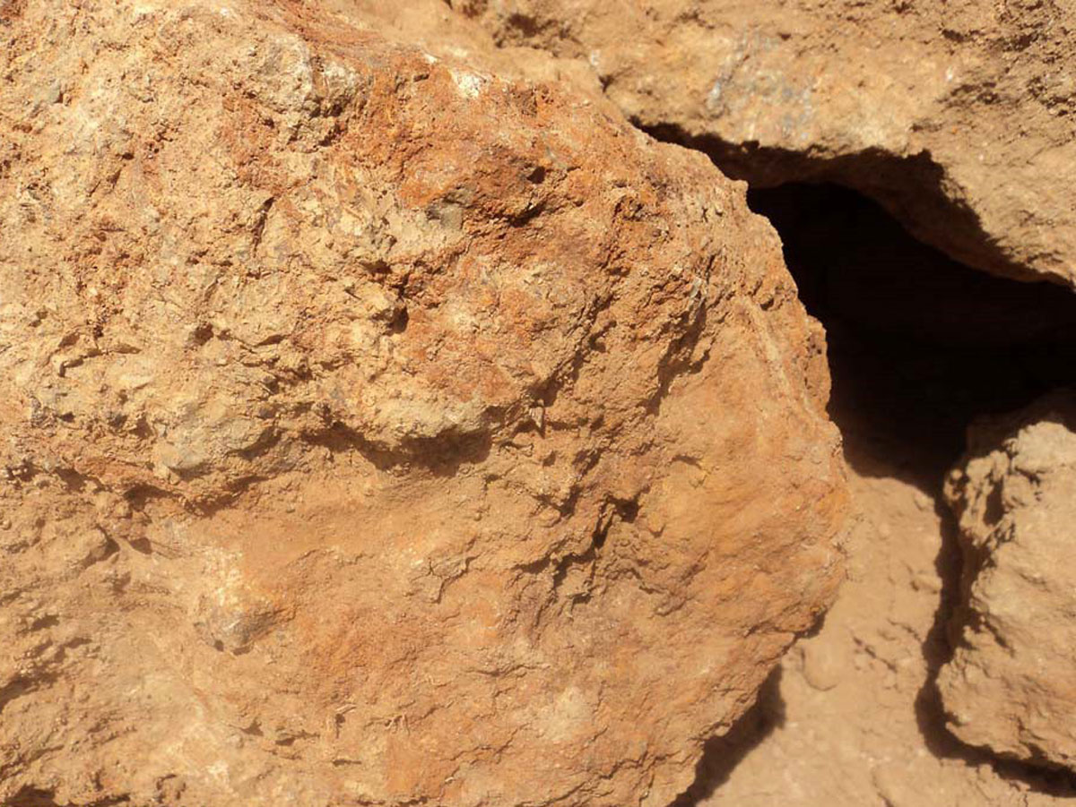
- Type of minerals and main minerals: Galena, Sphalerite, Pyrite in sulfide zone and Smithsonite, Hemimorphite and Cerussite in carbonate and oxide zones
- Geochemical paragenesis: Pb, Zn, Ag, Cd, Mg, Ba
Geology
- Host rock: Clastic rocks, Carbonate (Limestone, Dolomitic) and Jurassic and Cretaceous volcanic and the grade of mineral is high.
- Age of host rock: Mesozoic (Jurassic and Cretaceous)
Reserve Amount
Mineral dimensions in zone no.1, which is the largest mineralization zone, is 80 * 110 meters, including several veins and lenses, carbonate and sulfide containing high grade. In zone no. 2, area is 50 * 50 meters, grade is lower, and we can see stockwork and the veins-veinlets with the relatively high density. Zone no. 3 has the area of 20 * 30 meters with high grade and zone no. 4 has the area of 90 * 80 meters, the grade is high and the total amount of lead and zinc grade is 5.2%.
Proven Reserve
According to exploratory operations in this area, the proven reserve is about 1.436.000 tones with the average grade of 5.2 percent of the total lead and zinc and the amount of silver and cadmium is significant. The probable reserve is about 3,000,000 tons with the average grade of 4 percent lead and zinc.
Facilities
Water, electricity and road are within 500 meters of the area in Tang-e Dozdan village.
Water, electricity and road are within 500 meters of the area in Tang-e Dozdan village.
Exploration operations
- Preparing the geological map with the scale of 1:20,000 in 22 km2 area
- Preparing the geological and topographical map (scale: 1:1,000) in 30 Hectares area
- Preparing the structural geology map (scale: 1:1,000) in 30 Hectares area
- Lithogeochemical sampling (mineralized) for 52 samples and analysis them
- Geophysical studies, survey 916 points, interpretation and providing the related report
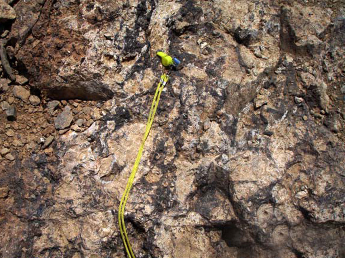
- Surface digging including 16 trenches with the approximate length of 450m and the approximate volume of 500 m3 by shovel
- Sampling from trenches and analysis them (125 samples)
- Drilling 17 boreholes (1,027m)
- Construction access ways and field for locating the drilling machines totally about 900m
- Cutting the cores and logging the samples (1,027m)
- Sampling from the drilled cores and 43 elements analysis totally for 330 samples
- Mineral processing and ore dressing for 1,200 kg of the drilled cores
- Analysis 90 samples of the ore dressing output’s samples
- Ore reserve evaluation
Ownership
This district has the exploitation license and belongs to Pars Gostaran Aghigh engineering and commercial company.


پروژه های زرمش

Silijerd Exploration Area
Silijerd exploration area with exploration license with an area of 23.3 square kilometers is located in Markazi province, 17 kilometers northwest of Saveh city in Iran. This area is part of the Urmia- Dokhtar

Khalkhab Exploration Area
Khalkhab exploration area with exploitation license is located in Markazi province, north of Saveh city and northeast of Chenar village.This area with an area of 14.3 square kilometers is part of the Urmia-Dokh