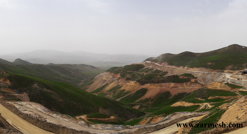
Vidar Iron and Manganese Mining Area with an area of 9 Km2 is located in Markazi province and in Zarandieh city. This area is located in the Urmia-Dokhtar magmatic zone (northern part). Access to the area is possible through the Saveh-Buinzahra highway. Vidar Mining Area is located about 15 km from Saveh-Buinzahra Highway (north of the area) and 10 km from the Black Cement Factory (east of the area).
Ore specifications
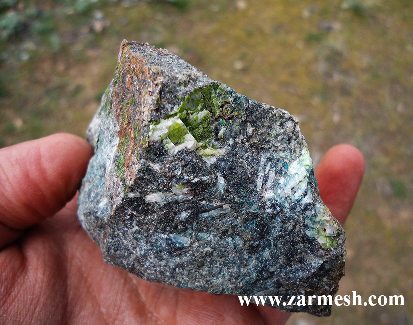
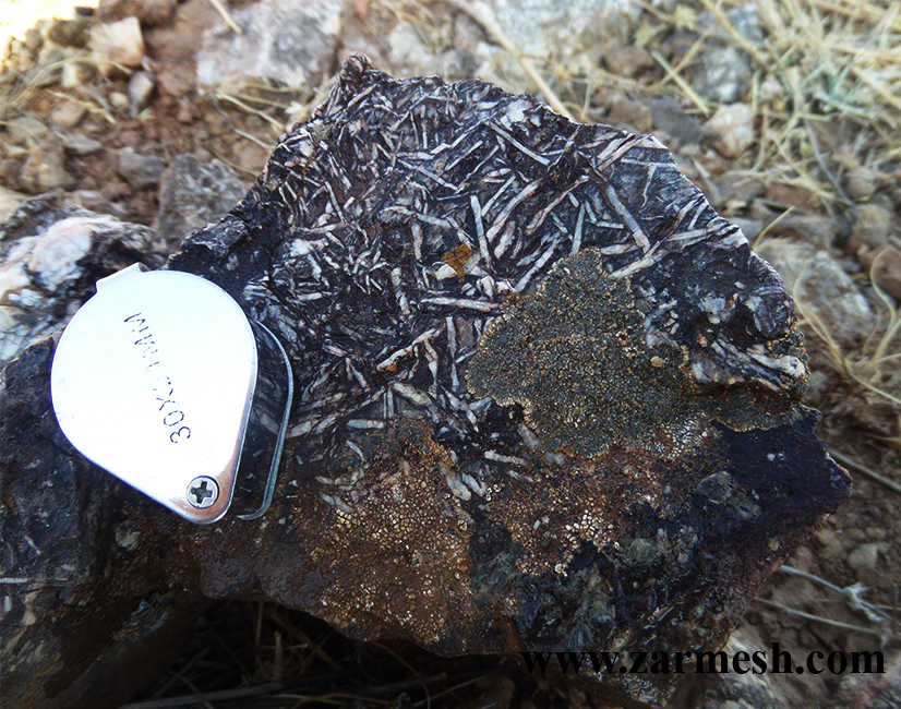
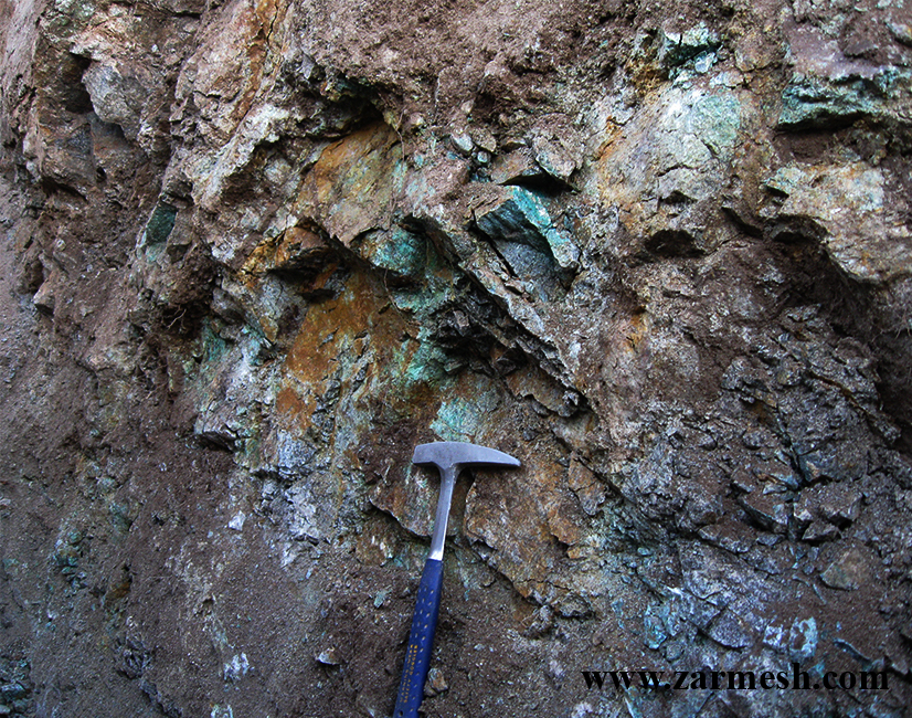
Mineralization type: Iron & Manganese exhalative deposit with epithermal gold and silver reserves.
Paragenesis of mineral: Hematite, pyrolusite, manganese, chalcopyrite, malachite, azurite, goethite
Gangue type: Barite, silica, jasper, oxides and iron hydroxides
Geochemical paragenesis: Fe, Mn, Au, Ag, As, Sb, Cu, Mo, Pb
Geology
Host rock type: Andesite, Andesite- basalt, Andesite tuff, Conglomerate and limestone
Age of host rock: Eocene to Quaternary.
Alteration: Silicification, Medium argillic and Iron Hydroxide and oxides.
Reserve dimensions
The dimensions of the mineral in iron and manganese mineralization are 100 to 1000 meters in length, 0.5 to 1.5 meters in width and 0.5 to 5 meters in height. Gold and silver mineralization has a length of 50 to 500 meters, a width of 0.5 to 10 meters and a height of 0.5 to 15 meters. The mineral grade of iron is between 20 to 40%, manganese between 17 to 30%, copper 0.1 to 3.6%, gold between 50 to 26656 ppb and silver 10 to 732 ppm.
Proven reserve
According to exploration operations in this area, the definitive reserve is equal to 108,000 tons of ore with an average grade of 38% of total iron.
Facilities
There is water and electricity within 100 meters. Access to the area is also possible via dirt roads.
Exploration operations
- Collecting information; including geological and topographic maps, previous reports and etc, doing office work and planning for field operations.
- Processing of SENTINEL-2 and ASTER satellite data for extraction of alteration minerals related to mineralization, analysis of geological structures and features, and separation of rock units.
- surveying, processing and integrating the data base information, creating databases and identifying areas that is suitable for exploration
- Field operations including surveying and identifying rock units and important geological features as well as separation of veins and mineralization zones.
- Preparation of a geological map in the scale of 1:20,000 with an area of 25 Km2
- Preparation of a topography map in the scale of 1:20,000 with an area of 25 Km2
- Preparation of faults and veins map in the area on a scale of 1:20,000
- Sampling of area rocks to study the thin section in the prospecting phase of 5 samples.
- Sampling of veins, ore zones, alleles of alteration (chip sampling) in the prospecting phase of 64 samples.
- Preparation, sending of prospecting samples, and chemical analysis of gold and associated elements by ICP-OES, Fire Assay to 57 samples.
- Sending 7 samples, preparation and chemical analysis by XRF method in sampling stages.
- Analysis of analyzed samples.
- Geophysical operations by IP and RS for 600 points in 7 profiles.
- Analysis of geophysical data and drawing induction polarization and resistivity models.
- Preparation of a geological map in the scale of 1:1,000 with an area of 260 ha.
- Sampling 5 samples of area rocks to study the thin section to prepare a geological map at a scale of 1:1,000.
- Construction of drilling platform and access road with a length of 3 km.
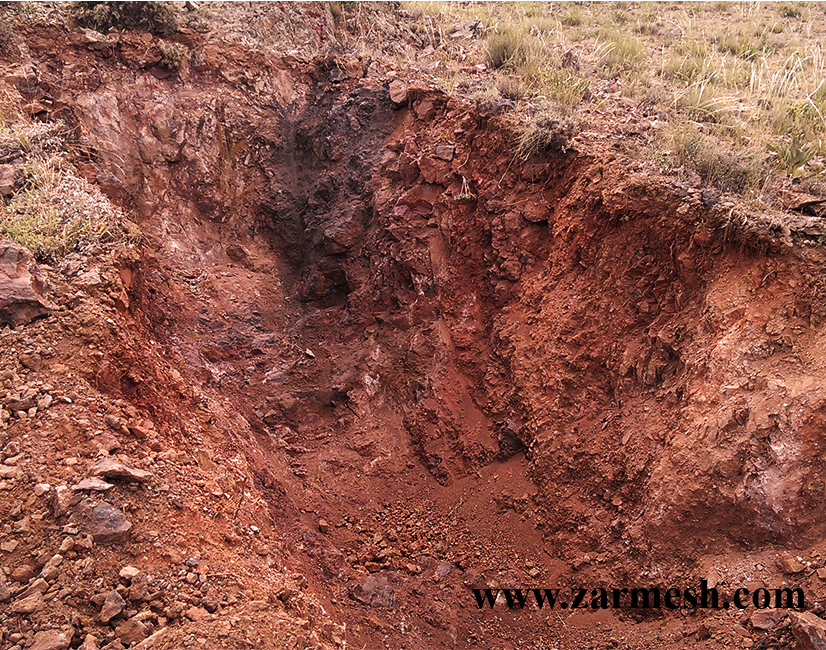
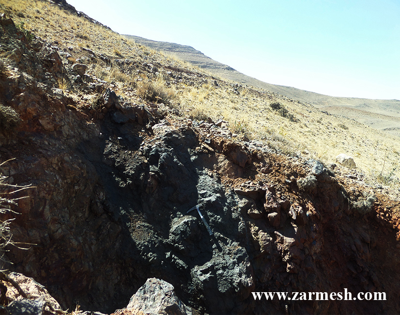
- Drilling exploration trenches with an approximate volume of 1133 m3.
- Mapping and sampling of excavated trenches at length of 588.5 m in scale of 1:20.
- Preparation, sending of trench samples, and chemical analysis of gold and associated elements by ICP-OES, Fire Assay to 96 samples.
- Analysis samples taken from trenches by ICP OES, Fire Assay and XRF methods.
- Drawing sections of trenches and analyzing grade changes in trenches.
- Construction of 10 drilling rigs.
- Drilling of 10 boreholes by core recovery method with a length of more than 490 m.
- Study RQD and C.R. of Cores.
- Cut the core to lenght of 300 m.
- Preparation, sending of borehole samples, and chemical analysis of gold and associated elements by ICP-OES, Fire Assay to 15 samples.
- Detail logging of boreholes with lenght of 115 m and preparation of a report.
- Pick up, send and prepare 3 samples of the core for XRF methods.
- Evaluation and determination of volume, shape and tonnage of mineralization area storage based on trenches and boreholes drilled using advanced software.
- Prepare exploration report with maps and CD.
Ownership
This area has a certificate of discovery and belongs to Zarmesh Mining and commercial Group.