
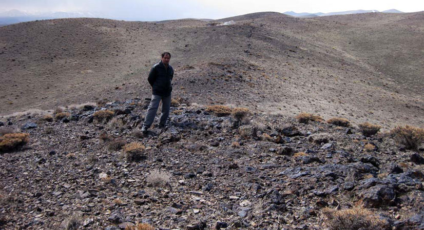
Qeshlagh Mil district with the area of 18/73 km2 is located in Markazi province, near the city of Saveh. This area is located in the Urmia-Dokhtar magmatic belt. Access roads to the area is via Bouyin Zahra- Saveh which about 55 km, beside the white cement Plant of Saveh, with a deviation to the right, first along the Hajib-Kharaghan road with a length of 16.3 km (dirt road) and then to the right in the direction of the dirt road of Mil-Kharaghan from Kharaghan section and within 7/7 km, we reach the area.
Qeshlagh Mil IOCG
Projects
Reserve Type
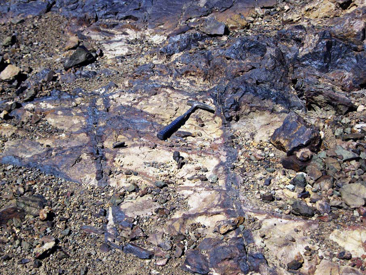
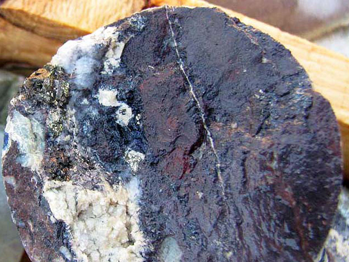
- Genesis: Polymetallic veins of Copper and Gold with Oligiste (IOCG)
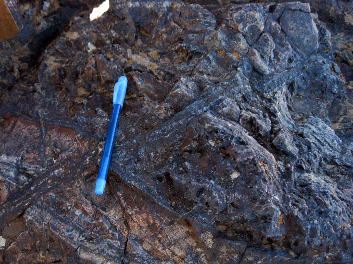
- Paragenesis: Malachite, Azurite, Chalcopyrite, Pyrite, Goethite and Limonite
- Gangue type: Silica, Calcite, Hematite, Goethite, Oligiste and Limonite
- Geochemical Paragenesis: Au, Cu, Mo, As, Sb
Geology
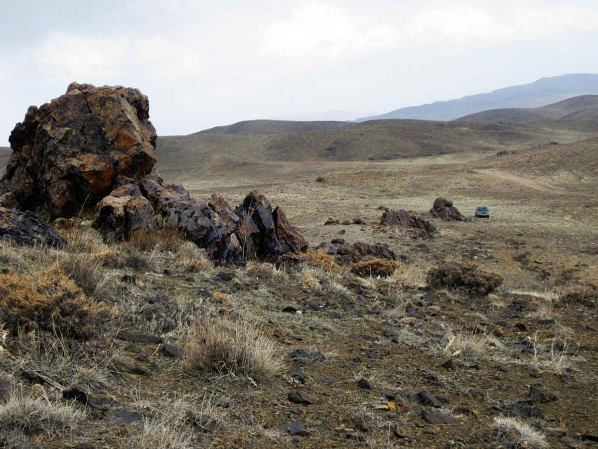
- Host rock: Andesite and Tuff volcanic rocks.
- Age of host rock: Eocene and Pliocene
- Alteration: Silicification, Argillic.
Reserve Amount
Gold mineralization dimension is a vein with a stock work border of 2 to 20 meters thickness and more than fifty meters depth and the length of five hundred to six hundred meters continuously in the district. The grade of gold is between 10 to 3100 ppb and copper mineralization is as several copper veins and copper stock work zones. The veins and zones have over 50 m long and molybdenum grade is between 1 to 189 ppm, copper grade is between 0.1 to 1.5 percent, and arsenic is between 10 to 1575 ppm.
Proven Reserve
According to the exploration operation in this district, the proven reserve of gold is 301,000 tons ore with the average grade of 0.85 (ppm) and the proven reserves of copper ore is 123,500 tons with the average grade of 1.22 percent. Probable gold reserves is about 800,000 tons with the average grade of 0.5 (ppm) and the probable copper reserve is about 300,000 tons with the average grade of 0.5 percent.
Facilities
There are water and electricity in a few kilometers of area. Access road to area is a dirt road.
Exploration operations
- Collecting information, doing office work and preparing geological and topographic map with the scale of 1:20,000 with the area of 18/37 square kilometers
- Surveying satellite images and separating alteration halos
- Preliminary prospecting and hammer exploration in the area of 18/37 km2
- Preparation of geological map of 1:20000 in area of 18/37 km2
- Preparation of topographic map of 1:1000 with the area of 120 hectares
- Preparation of geological map of 1:1000 with the area of 120 hectares
- Collecting 155 samples for analysis of Fire Assay and ICP methods
- Study of thin sections for the preparation of geological maps of 1:20000 and 1:1000 in total of 30 samples
- Geophysics operation by IP and RS methods in total of 2000 stations
- Digging 39 exploratory trenches with an approximate volume of 1386/9 m3
- Construction of 4 km access road
- Core drilling and logging with the length of 592/55 m
- Cutting of cores (1/2 and 1/4) with the length of 1185 m
- Sampling of drill holes in 88 samples
- Analysis of 88 samples with Fire Assay and ICP methods.
Ownership
This area has the exploration license and is belonged to Arya Madan Kav Jam company.


پروژه های زرمش

Silijerd Exploration Area
Silijerd exploration area with exploration license with an area of 23.3 square kilometers is located in Markazi province, 17 kilometers northwest of Saveh city in Iran. This area is part of the Urmia- Dokhtar

Khalkhab Exploration Area
Khalkhab exploration area with exploitation license is located in Markazi province, north of Saveh city and northeast of Chenar village.This area with an area of 14.3 square kilometers is part of the Urmia-Dokh