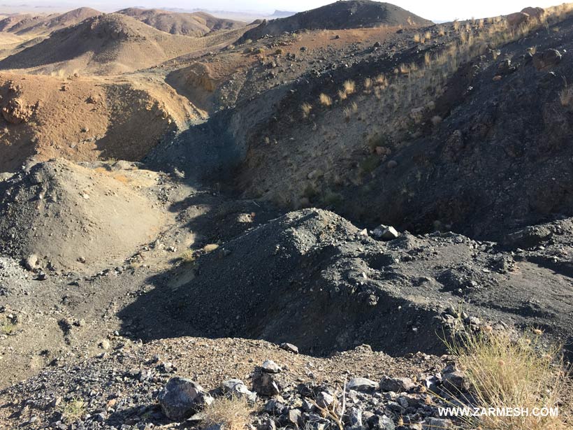
Exploration area of Firiz with exploration license, in the East of Iran, South Khorasan province, 25 km southwest of Birjand, and is located north of the village of Kariz-e Now, this area covers an area of 4/49 square kilometers.

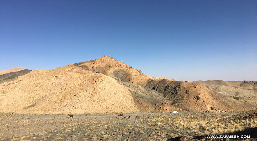
Exploration area of Firiz with exploration license, in the East of Iran, South Khorasan province, 25 km southwest of Birjand, and is located north of the village of Kariz-e Now, this area covers an area of 4/49 square kilometers.
Genesis: Alpine-Type chromite
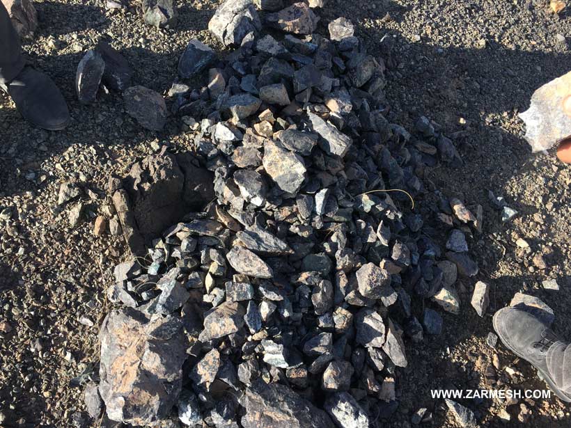
Paragenesis of mineral: Chromite
Gangue type: Silica
Geochemical paragenesis: Cr, Mg, Ni
Structural zone: Flysch Basin of structural zone of eastern Iran
Host rock type: Flysch, Dunite, Harzburgite, Lherzolite, Dacite and alluvial sediments of the present age
Age of the host rock: Cretaceous to the present
Alteration: Argillic, Propylitic, Hematite Alteration
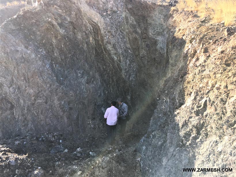
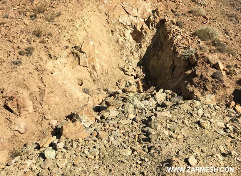
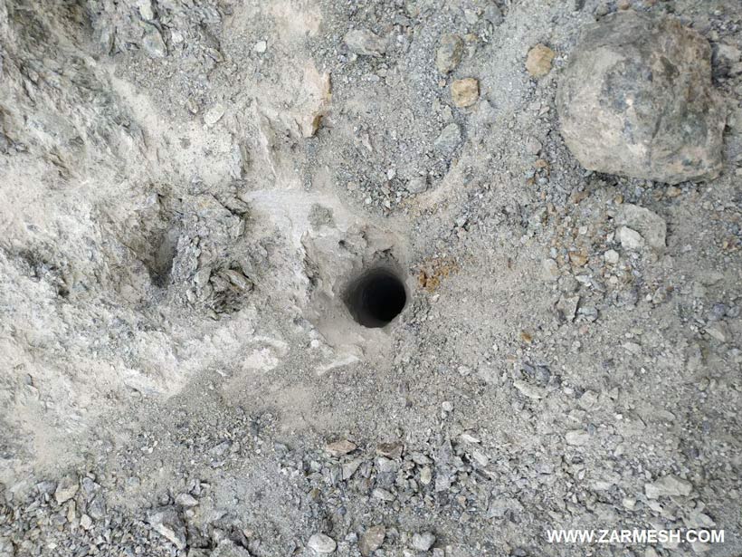
Chromite lenses are visible in the Dunite intrusion mass in two zones: Zone No. 1: Mass length: 25 meters, mass width: 15 meters, mass depth: 11 meters. Zone No. 2: Mass length: 17 meters, mass width: 5 meters, mass depth: 11 meters.
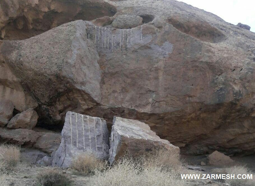
It should be noted that in the southwest of this area, there is an outcrop of andesite, which can be marketed as a red granite building stone due to the lack of fractures and joints.
The chromite ore deposit in zone number 1 is equal to 5928 tons and in zone number 2 is equal to 760 tons. The final storage amount is 6688 tons of Chromite ore with an average grade of 38%.
Cr2O3 averages 38%
This area is located one kilometer north of the village of Kariz-e Now, which this village has electricity and can help provide the required manpower.
The asphalt road of Omarshah Dam-Majan Plain is also located near the area.
Khusf city is located at a distance of 36 km from the area, which can be a supplier of required machinery.