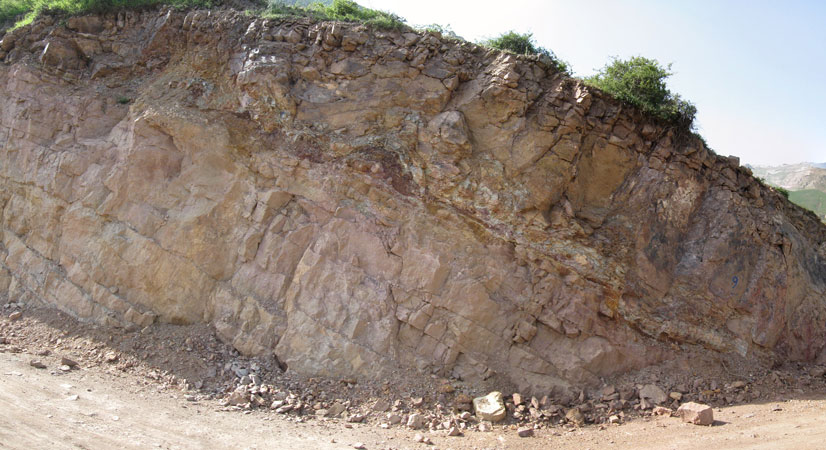
Kolrud fire clay district with 0.26 km2 areas is located in Gilan province near Rahim Abad city, access ways to this area are from Roudsar, Kalachay, Rahim abad and Ishkur village.
Kolrud fire clay district
Projects
Reserve Type
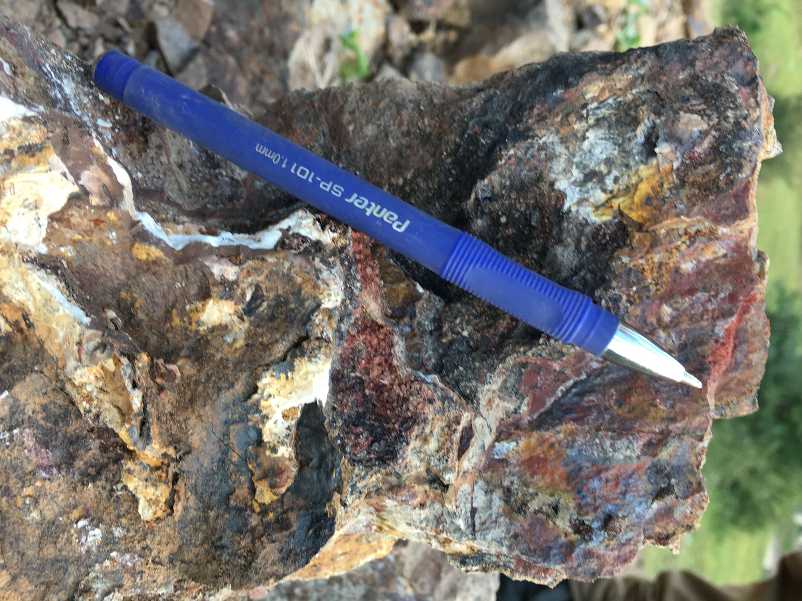
- Genesis: Sedimentary and syngenetic
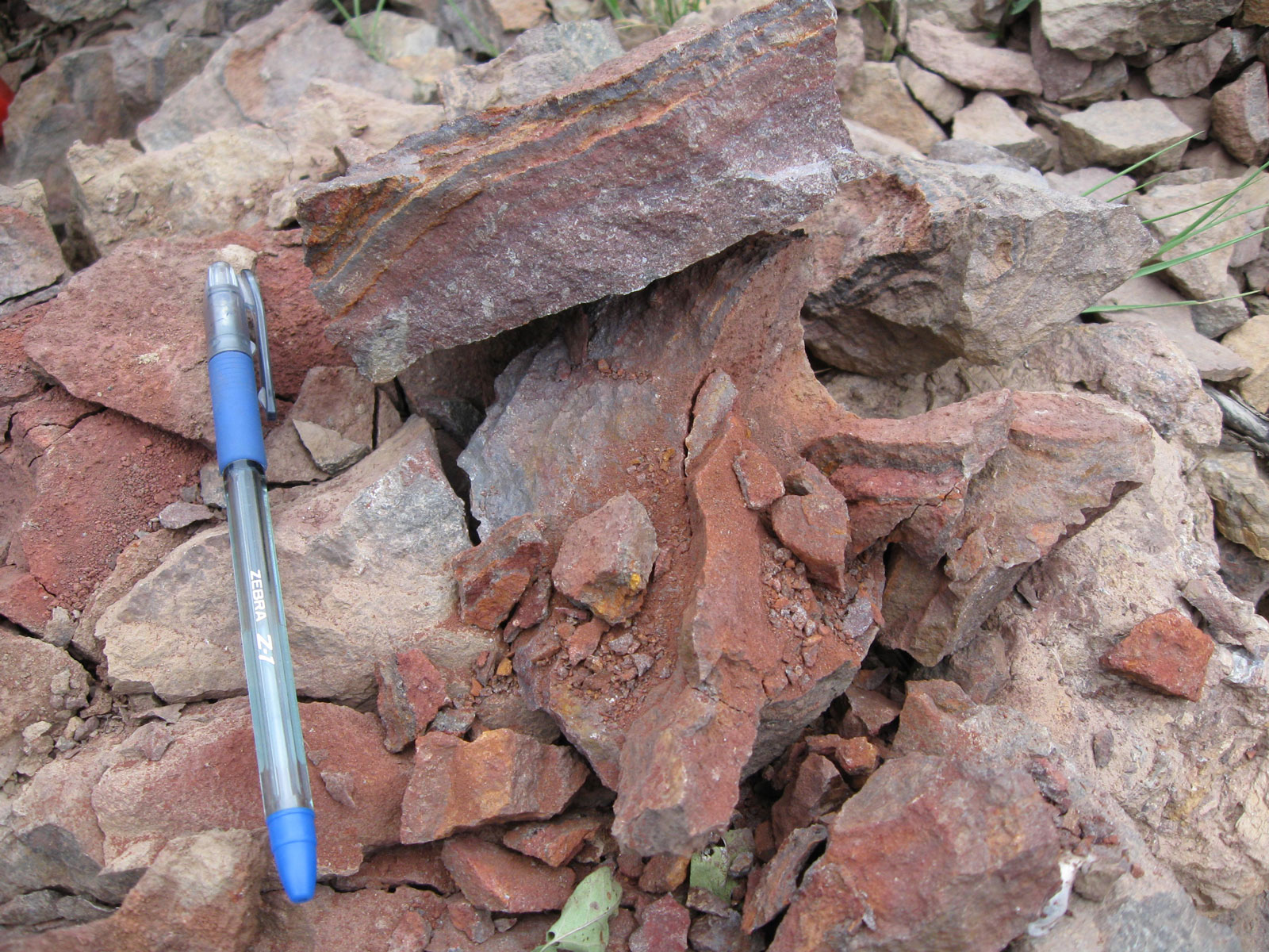
- Paragenesis of mineral: Kaolinite, Dichite, Chlorite, Quartz, Hematite, Muscovite, Anatase, Rutile, Calcite, Dolomite and Lime.
Geology
- Host rock type: Lime, Shale and Dolomite
- Age of the host rock: Permian and Triassic
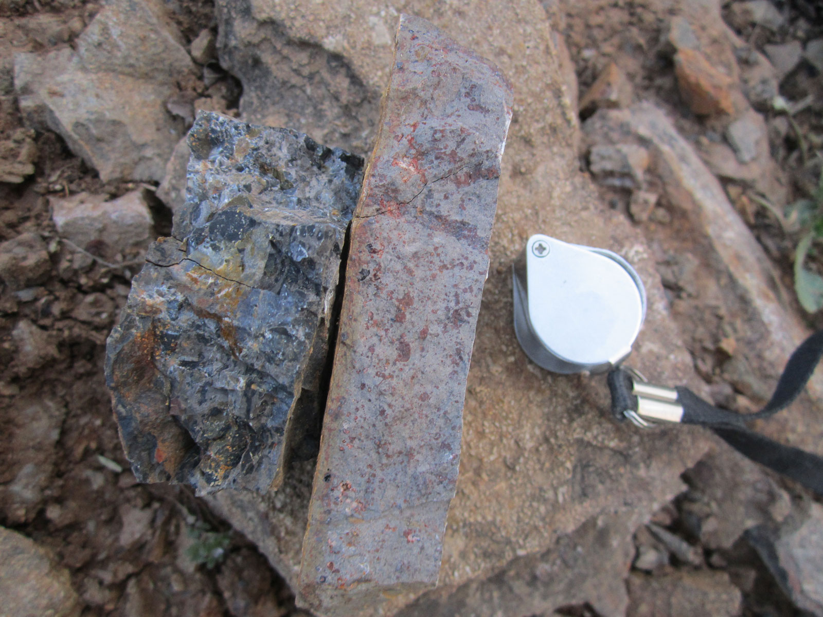
Degree of purity of mineral
Dolomite: The average MgO grade is about 18% and CaO is about 30%.
Laterite: The average Al2O3 grade is about 27% and the Fe2O3 grade is about (40 -57) percent.
Bauxite: The average Al2O3 content is about (29% – 47%) and the average Fe2O3 grade is about 3%.
Reserve Estimation
Zone no.1: In the kalrud Laterite-fire clay mineral deposit is present in three soil horizons, Kaolinite is on the upper and lower horizons, and Laterite in the middle horizon that is 70 cm in Thickness, about 75 meters in length, and 40 meters in width, average Al2O3 grade is more than 40%.
Zone no.2: Khomreh mahaleh mineral deposit block has about 2 m thickness and visible length is about several meters, and the average Al2O3 grade is more than 40%.
Proven reserve
According to the exploration operations in this area, the fire clay proven reserve is 10,646 tons and dolomite is 168,554 tons, and the Bauxite probable reserves is 265,200 tons and Dolomite is 58,139 tons.
Facilities
There are water, electricity and access way near the area.
Exploration operations
- Collecting information and checking evidence that including aerial photos, geological maps and previous reports
- Prepartion of geological map with the scale of 1:20,000 in 18 km2 areas
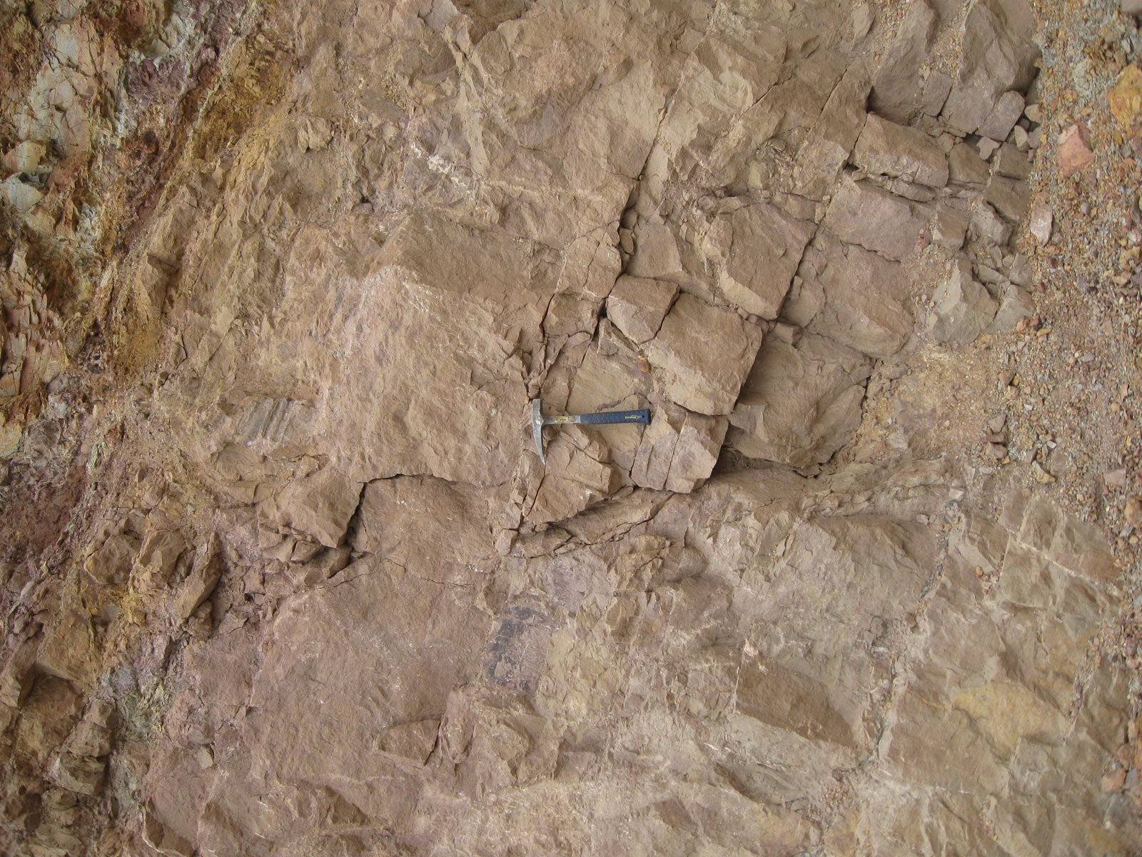
- Digging trenches and wells about 100 m3 (to do mineral sample)
- Analysis of samples (6 samples for XRF analysis)
- Interpreting the obtained results and determining the suitable area for detail exploration, Preparing the final report for general exploration phase
- Preparing geological and topographic map with the scale of 1:5,000 in 0.83 km2 areas
- Digging trench and well in the volume of 31 m3
- Analysis of samples (21 samples for XRF and 8 samples for XRD and 2 samples for specific gravity)
- Performing technical test and non-refractory test products on laboratory or semi-industrial scale
- Blocking and determining probable reserves
- Supply final operation report that include: results of operation steps, totalization of information, inventory calculation, technical and economic content, and the abstract of the extraction method and related investments.
Ownership
This area has exploitation certificate which, belongs to Pars Gostaran Aqiq company.


پروژه های زرمش

Silijerd Exploration Area
Silijerd exploration area with exploration license with an area of 23.3 square kilometers is located in Markazi province, 17 kilometers northwest of Saveh city in Iran. This area is part of the Urmia- Dokhtar

Khalkhab Exploration Area
Khalkhab exploration area with exploitation license is located in Markazi province, north of Saveh city and northeast of Chenar village.This area with an area of 14.3 square kilometers is part of the Urmia-Dokh